Location Crowdsourcing

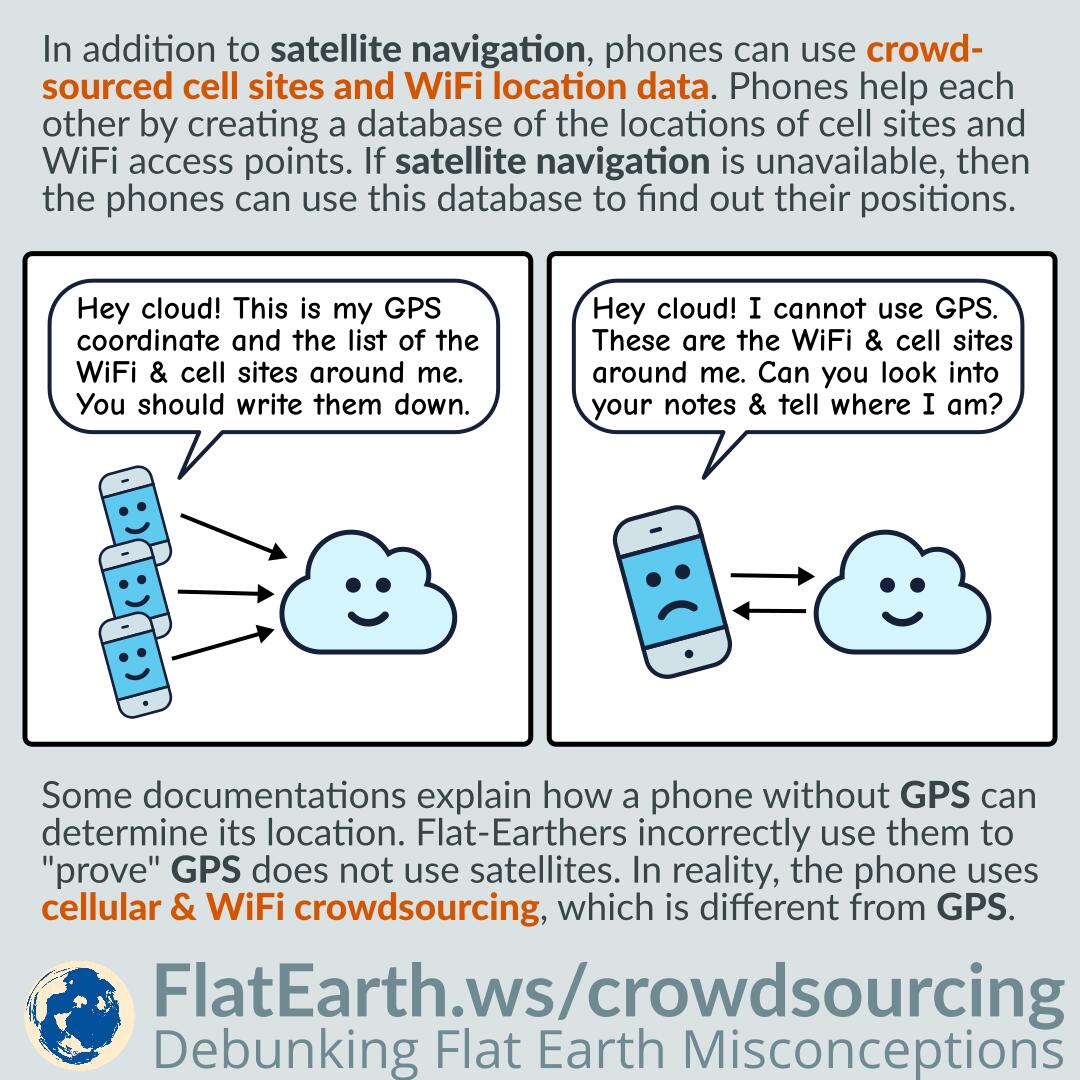
In addition to satellite navigation, mobile phones can also use crowdsourced cell sites and WiFi access points location data. Phones help each other by creating a centralized database of the locations of cell sites and WiFi access points. If satellite navigation is unavailable, then the phones can utilize this database to determine their positions.

Some documentations explain how a phone or device without GPS can determine its location. Flat-Earthers incorrectly use these documentations to “prove” GPS does not use satellites. In reality, there are various methods of determining location, not just GPS. These documentations explain location service using cell & WiFi crowdsourcing, which is different from GPS.

Continue reading “Location Crowdsourcing”

Exalt’s Mediterranean Microwave Transmission Link

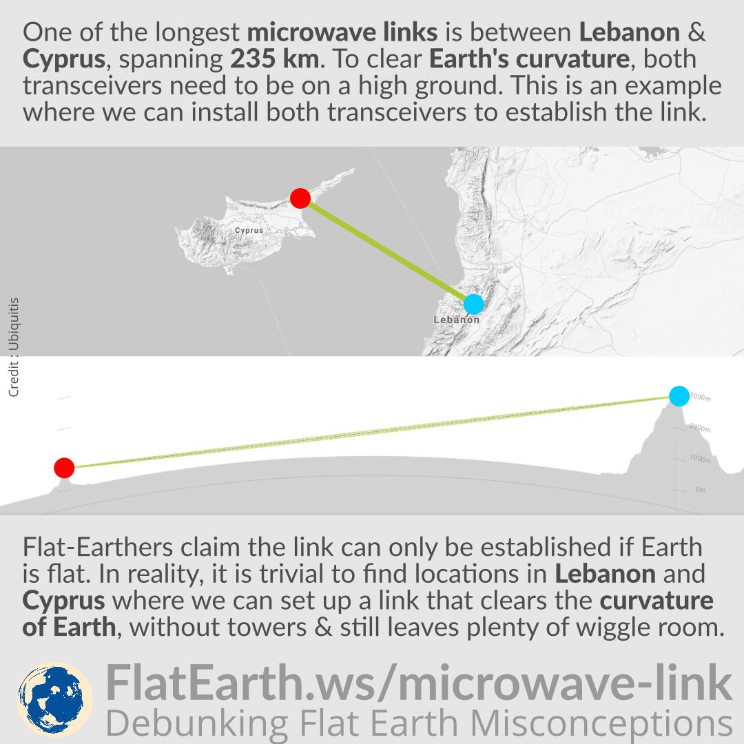
One of the longest microwave links is between Lebanon and Cyprus, spanning 235 km (146 miles). To clear Earth’s curvature, both transceivers need to be placed on high ground. In the illustration, we provide an example where we can install both transceivers to establish the link.

Flat-Earthers claim that the link can only be established if Earth is flat. In reality, it is trivial to find locations in Lebanon and Cyprus where we can set up a microwave link between them that clears Earth’s curvature without using any towers and still leaves us with plenty of wiggle room.

Continue reading “Exalt’s Mediterranean Microwave Transmission Link”