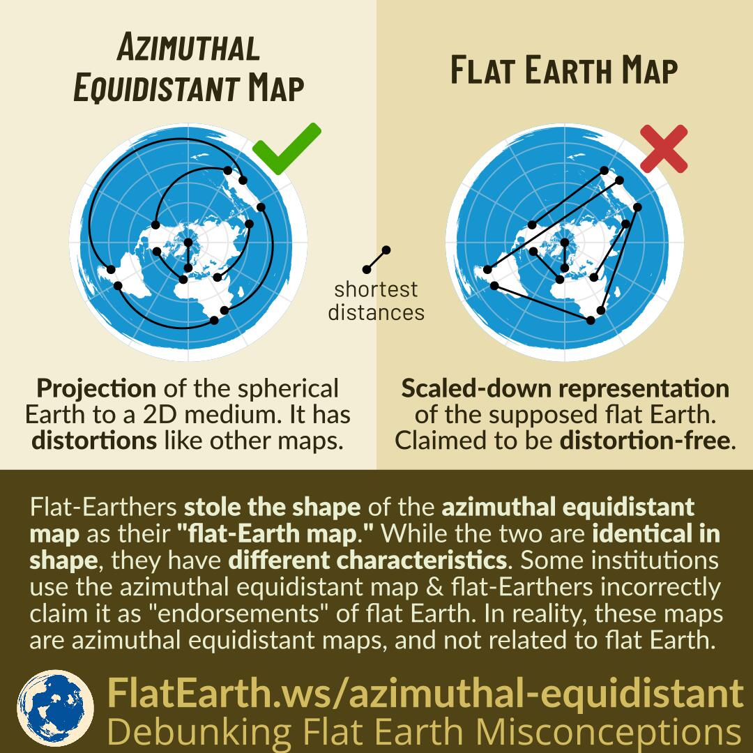
The azimuthal equidistant map is a projection of spherical Earth on a two-dimensional medium. The map has distortions, like every other type of map.
Flat-Earthers stole the shape of the azimuthal equidistant map and call it the “flat-Earth map.” While the two are identical in shape, they have different characteristics. The map that they call the “flat Earth map” is claimed to be a scaled-down representation of the supposed flat earth. They claim it to be distortion-free.
Some institutions use the azimuthal equidistant map & flat-Earthers incorrectly claim it as an “endorsement” of flat Earth. These maps are azimuthal equidistant maps and not related to flat Earth.
Continue reading “The Polar Azimuthal Equidistant Map is NOT the Flat Earth Map”


