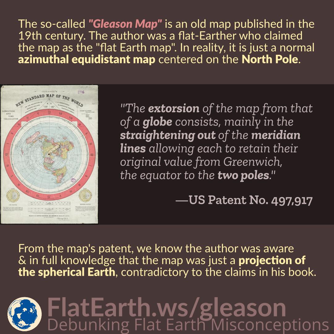
The so-called “Gleason Map” is an old map published in the 19th century. The author was a flat-Earther who claimed the map as the “flat Earth map.” In reality, the map is just a normal azimuthal equidistant map centered on the North Pole.
From the map’s patent, we know the author was aware and in full knowledge that the map was just a projection of the spherical Earth, contradictory to the claims in his book.


