
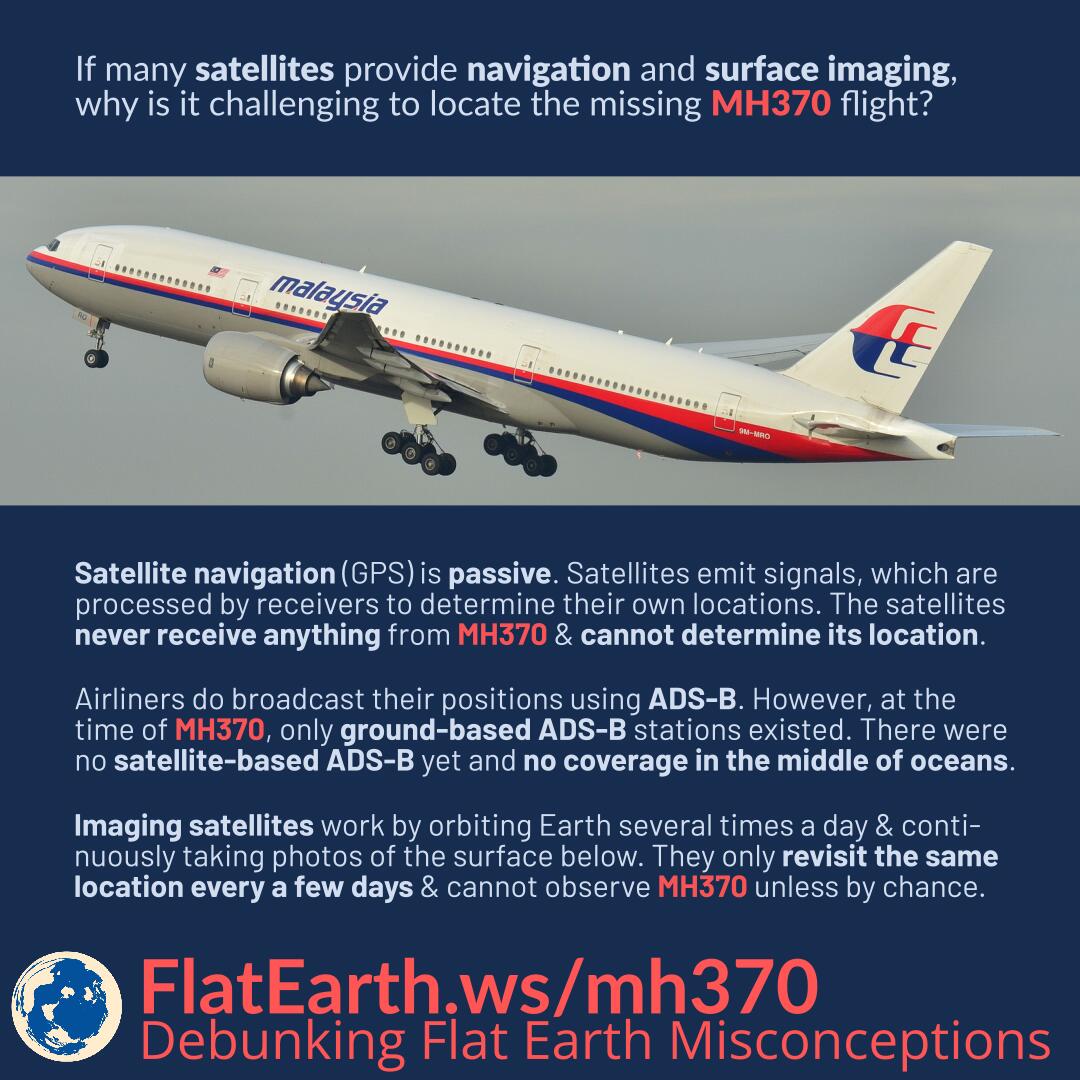
If many satellites provide navigation and surface imagery, why is it challenging to locate the missing MH370 flight?
Satellite navigation, including GPS, is passive. Satellites emit signals, which are processed by receivers —including those on board the MH370— to determine their own locations. The satellites never receive anything from MH370 and cannot determine its location.
Airliners do broadcast their positions using ADS-B. However, at the time of MH370, only ground-based ADS-B stations existed. There were no satellite-based ADS-B receivers yet, and no coverage in the middle of oceans.
Imaging satellites work by orbiting Earth several times a day and continuously taking photos of the surface below. They cannot possibly provide real-time videos of every location on Earth. They only revisit the same location every a few days and cannot observe the crash of MH370 unless by chance.
References
- Global Positioning System – Wikipedia
- Satellite navigation – Wikipedia
- Malaysia Airlines Flight 370 – Wikipedia
- Automatic dependent surveillance – broadcast – Wikipedia
- Satellite revisit period – Wikipedia