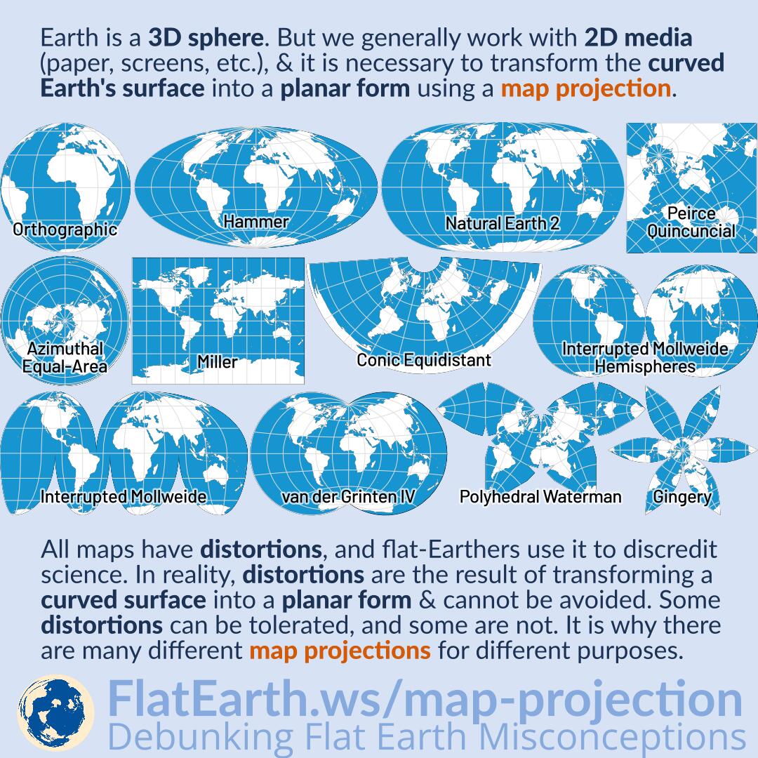
Earth is a sphere. But we generally work with two-dimensional media (paper, computer displays, televisions, phone screens, whiteboards, etc.), and it is necessary to transform the curved Earth’s surface into a planar form using a map projection.
All maps have distortions, and flat-Earthers use it to discredit science. In reality, distortions are the result of transforming a curved surface into a planar form & cannot be avoided. Some distortions can be tolerated, and some are not. It is why there are many different map projections for different purposes.
Many different map projections are created to preserve different properties of the sphere-like body at the expense of other properties. Some of the resulting distortions are acceptable, and others are not. A projection type can be suitable for a purpose but not for others.
Flat-Earthers claim the so-called ‘flat-Earth map’ is distortion-free and use it as proof of its correctness. In reality, a map can only be distortion-free if the actual shape it represents is also flat. There are many ways we can use to show that the “flat Earth map” is, in fact, distorted.
Every map of the Earth has distortions due to the fact it is a two-dimensional representation of a three-dimensional object. It does not mean a distortion-free representation of the real Earth does not exist: we call it a globe.
References
- Map projection – Wikipedia
- List of map projections – Wikipedia
- d3-geo-projection – GitHub
- Globe – Wikipedia


